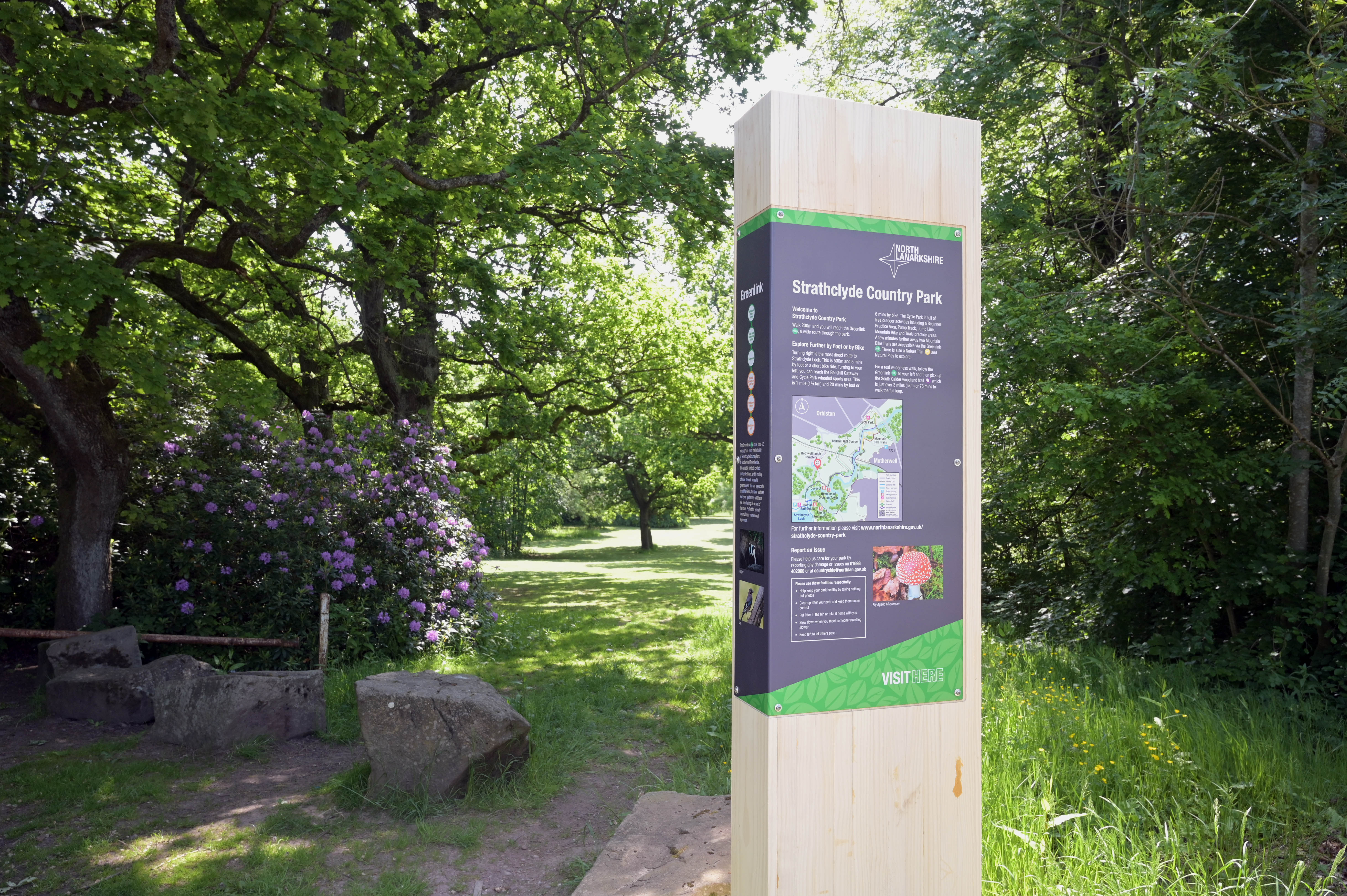
An interactive map offers a new way for visitors to explore the facilities and activities in and around Strathclyde Country Park.
The map highlights the many activities available – from walking and cycling to horse riding, play areas, nature trails and learning about local history.
It also shows how to travel to the park by public transport, where cafes and food outlets, entertainment and public toilets are located and details of accessible facilities.
The map is available on our web site at www.northlanarkshire.gov.uk/leisure-parks-and-culture/countryside-and-parks-0
“Strathclyde Country Park offers so much for visitors, and the new interactive map gives access to information and activities at our finger tips,” said Councillor Helen Loughran, Convener of the Environment and Climate Change Committee.
“As well as showing paths, including the Greenlink and Clyde Walkway, it also points out the wildlife to look out for along these routes, with links to activities for children, as well as the park’s Roman and mediaeval heritage, and how to access sports and leisure facilities.
“The map allows visitors to plan ahead and make the most of their trip to Strathclyde Country Park.”
The latest development at Strathclyde Country Park opened earlier this year - Bellshill Gateway includes cycling and wheeled sports facilities, natural play, a nature trail, improved path links to Strathclyde Loch, and a car park off Motherwell Road. To allow the pump track, beginners’ pump park and jump line to be used all year round, sports lighting has been installed.
A nature trail, which runs from the gateway site across the South Calder Water and around the park, can now be enjoyed by visually impaired visitors using an app - myEyes on the App Store (apple.com).
